Manzano Run
By Cliff Meier (Trail Tales December 2012)
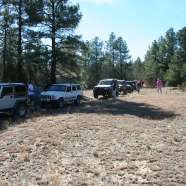
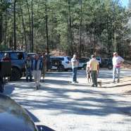
This report on the November 4th Monzano run is a month late and a bit short but here goes anyway. Nine vehicles met at the Sandia Ranger station bright and early. We had 6 members and 3 guests. Jennifer even had a fellow Hummer owner with us! We also had 2 members on the local Toyota 4X4 club join us.
This goal of the run was to explore the northern area of the few roads that is on the Mountainair Ranger District’s recommended Motor Vehicle Use Map (MVUM) that is yet to be published by the Forest Service for the Mountainair Ranger District and end up with a run up to Capilla Peak.
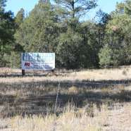
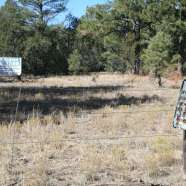
Unfortunately the last 4 miles of the Calilla Peak FR 245 is still closed from the fire. The road has been repaired but the campground at the top is still being repaired. If one was skeptical, you could think the FS is using this as an excuse to keep the road closed! After all, it’s only been 3 years or more since the fire! This area is not used by many others than the local residents. It is bordered on the northeast by the Chilili Land Grant and to the north and west at the top of the mountains by the Isleta Reservation, neither of which is known for being friendly to outsiders! See the picture of the Isleta sign. There was a well travel road on the reservation side of the fence that indicated the border was patrolled regularly.
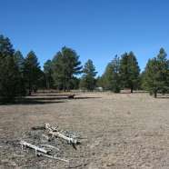
We left from the ranger station and started down NM Hwy 337 to just east of village of Tajique and turned on the county road CR 321 which became FR 321. This is a loop road that goes to the top of the mountains and runs along the Isleta border/fence. There are numerous side roads off the main road but only one FR 312D1/D3 is on the recommended MVUM. As the road winds to the top is crosses several large flat meadows which are identified as for dispersed camping on the MVUM. At the top we took a side road that continued north along the fence and ended at the border of the Chilili Land Grant. There was no mistake we were at the end! There was a tight fence with large boulders across the road. The road actually continues down into the village of Chilili. At that point we turned around and backtracked to the top where we stopped for lunch. As we finished lunch a pickup went by in the reservation side of the fence and waved us a “one” finger salute as they passed! Remember this if you spend any money at their casino!!
After lunch we proceed on FR312 to FR55. The last 2-3 miles of FR321 is also designated for dispersed camping as is the junction area of FR321/55. FR55 is known are the road to the 4th of July Campground and Albuquerque Trailhead. Both really pretty hiking areas. The trail out the back of the campground is known for its oak trees and colorful fall foliage. FR55 is loop that starts west of Tajique and comes out just south of the village of Torreon. On this trail it is not uncommon to see wild turkeys and deer. (When I pre-ran the run earlier in the week I saw 2 large flocks of turkeys.) Several of us caught a glimpse of several turkeys this time. All along the road were scrub oaks, most of their leaves were on the ground but were still bright red. We came back to Hwy 337 at about 3:00pm and decided we had enough for the day and would leave more exploring for the next run. I think a good time was had by all with no problems or fineable events!

