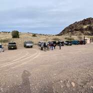
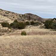
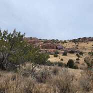
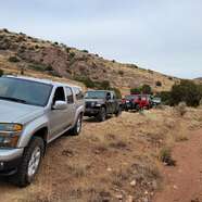
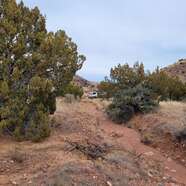
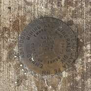
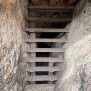
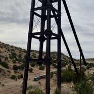
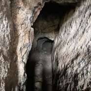
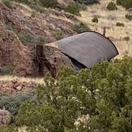
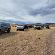
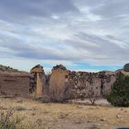
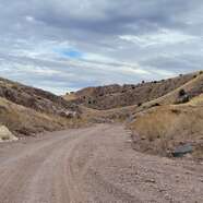
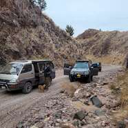
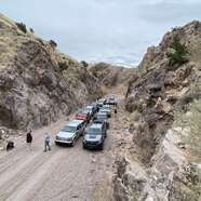
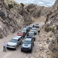
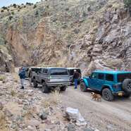
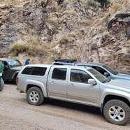
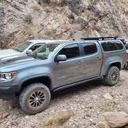
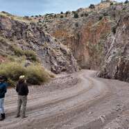
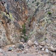
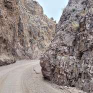
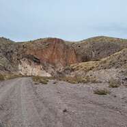
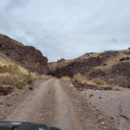
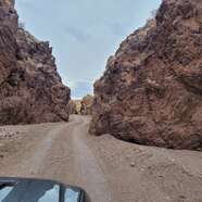
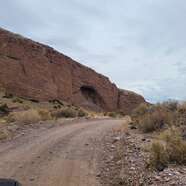
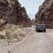
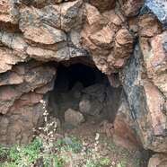
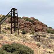
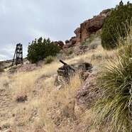
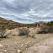
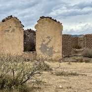
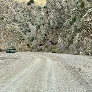
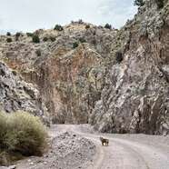
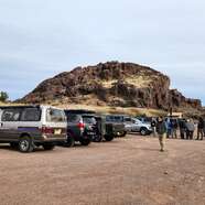
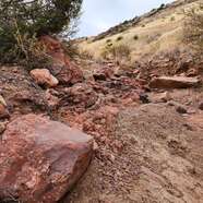
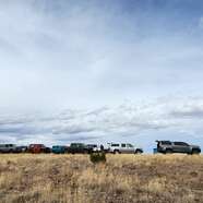
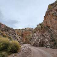
Our route began off of US Highway 60 several miles southwest of Socorro at The Box Recreation Area. Some mapping/GPS programs show this on top of the mesa, but continue down into the canyon for the actual parking area and pit toilet. We headed south on Box Canyon Road a few miles to Black Canyon and a portion of Torreon Springs Road (two track). Turning left into the canyon, the two-track road goes up to Nancy Mine. Maps show Torreon Springs Road going from the Box Recreation area past several mines and through to Box Canyon Road. But, between Gloryana and Nancy Mines, the road is impassable to nonexistent. Heading back down, we turned back onto Box Canyon Road and continued south. At the intersection, our route headed east on Bianca Ranch Road, passing the Pound (Bianca Ranch) and remnants of old Nogal Ranch buildings. The road continues through Bianca (Nogal) Canyon toward I-25 San Antonio Exit. At the west side of the exit, our route made a big U turn and headed northwest on Socorro Gun Club Road. Taking a side road, we drove up into the Red Canyon Mine, a strip mine. Our route then headed east, then north crossing Red Canyon, and picking up a road going north to Silva (Santo Nino de Atocha) Shrine and Highway 60. A few miles before Highway 60, we turned left head headed up to the Big Basin Mine. At times, this road is a somewhat narrow two-track shelf road. There is parking for about ten vehicles at the mine. Although maps show the two-track continuing up the hills and over to Box Canyon Road, there is a locked BLM gate at the mine.


