
Jemez Ride! Mystery Route!
Jeff B. asked me to take over his Sunday ride, and I was more than honored to do so. We wish you a speedy recovery and hope you're back to 100% soon, Jeff!
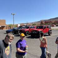
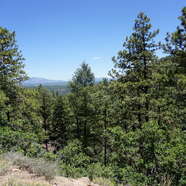
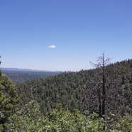
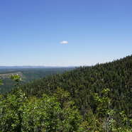
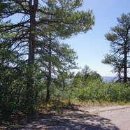
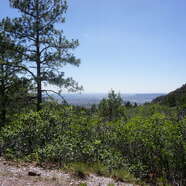
Despite the fire activity in the Jemez area (35.83058, -106.61743) and the Stage II Fire Restrictions, we were fortunate to still get out and enjoy a Sunday adventure.
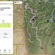
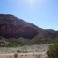
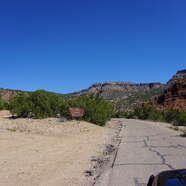
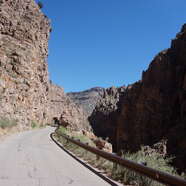
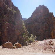
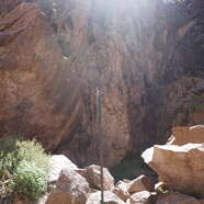
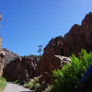
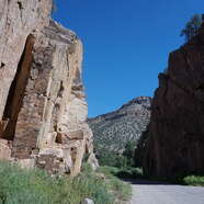
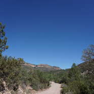
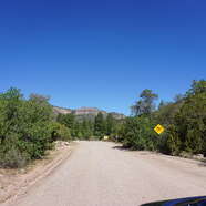
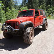
I tried to follow Jeff's original route, beginning on FR376 through the Gilman Tunnels and heading north toward FSR534. We traveled west for about 2.4 miles before turning onto FSR532. According to my OnX app, I had never been on this trail before, so we headed north into the unknown, relying on the terrain to guide us while using the legal maps to keep us on designated routes.
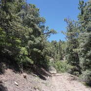
As we soon discovered—something that's fairly common—the electronic maps didn't quite match reality. FSR532 eventually changed direction and became FSR532ND. It was obvious that portions of the original trail had been reclaimed by nature through years of little use. Overgrown trees, thick brush, and runoff had likely made the original route difficult to maintain, so travelers had created an alternate path to continue through the area. ¯\(ツ)/¯
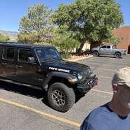
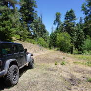
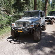
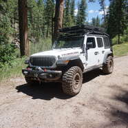
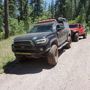
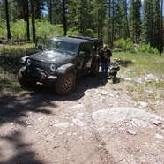
Before long, we encountered a section that challenged both the drivers and their vehicles with several tight turns and a rocky 24-degree climb offering excellent traction. Our newest member, Amy S., driving "Black Beauty"—her recently acquired overlanding Tacoma—came over the radio and said, "...just inhale..." before taking a deep breath. A few moments later, after successfully making the climb and turning onto FSR539JD, she keyed the mic again. This time, you could hear the relief as she exhaled. It was a great moment and a confidence builder.
The 2.3-mile detour toward FSR539JD turned out to be one of the highlights of the day. I'm glad I chose that route because the area contains several additional MVUM trails that definitely deserve another visit.
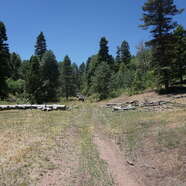
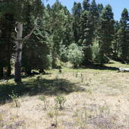
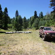
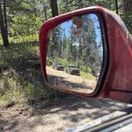
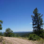
Turning left onto FSR539JD, we found another lightly traveled trail. I don't recall anyone on the radio mentioning they'd been through this area before—I certainly hadn't—so it was new territory for all of us. Continuing west, we found excellent terrain and an even better campsite (35.85571, -106.83329). Several of our experienced campers immediately took note of the location and started discussing the possibility of a future weekend camping trip to explore the surrounding trail system.
Once again, the maps and the real world didn't quite agree, but eventually the trail guided us toward the intersection with FSR535AE. This short connector took us north to FSR535, better known as "Smokey Bear Hill," another trail Jeff had hoped we'd be able to explore.
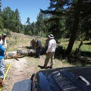
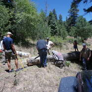
Turning right onto Smokey Bear Hill, we had barely traveled 100 yards before coming to a stop. A large fallen aspen tree (35.88088, -106.83406) completely blocked the trail. It appeared that someone had previously attempted to cut the tree but hadn't finished the job before simply driving around it.
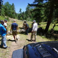
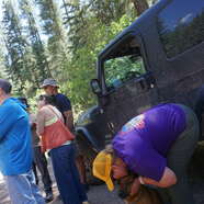
Rather than creating another bypass, we decided to do it right. Bruce A. fired up his electric chainsaw and finished the cuts that had already been started. Once the trunk was free, we attached a winch line and pulled the tree as far off the trail as possible. With the obstacle cleared, we continued on our way.
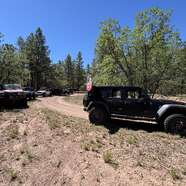
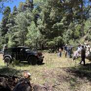
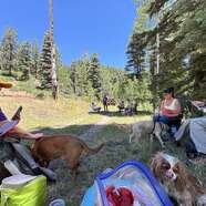
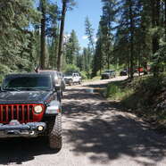
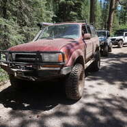
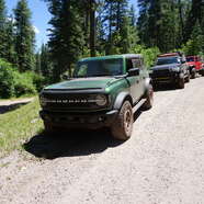
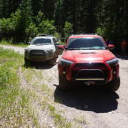
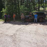
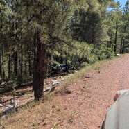
A short distance later, we stopped for lunch in a shaded area along the trail. While everyone relaxed, one group debated the merits of various Toyota models while another exchanged stories about gearing options and engine upgrades. After about 45 minutes, we packed everything up, left no trace behind, and even picked up several spent ammunition shells that had been left behind.
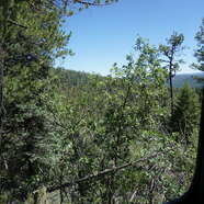
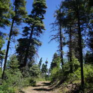
One thing I discovered—mostly by accident—is that Smokey Bear Hill transitions almost seamlessly into FSR535L, with very similar terrain. We continued toward FSR539EA, also known as "Rocky Road." The name is well deserved. Deep ruts and rocky obstacles provided plenty of opportunities for the suspensions to flex while keeping drivers engaged. It's only about a mile long, winding through dense forest. Along the way, I stopped briefly to trim back branches and remove a few small fallen trees with loppers and a hand saw—nothing unusual for a Jemez trail.
Without any major issues, we reached the intersection with FSR539 ("Rio de las Vacas"), where we took a short break for a 10-100, stretched our legs, and chatted before beginning our exit toward Cuba.
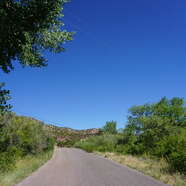
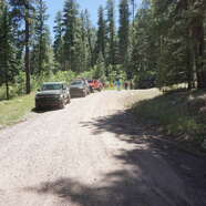
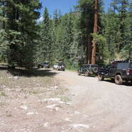
The drive to FSR20 was smooth and uneventful. We followed it for approximately 7.8 miles before it transitioned into FR533 ("Blue Bird San Diego"). There were no significant obstacles requiring attention. Both roads are well-traveled gravel and dirt routes that wind through the forest, with only the occasional runoff rut crossing the road.
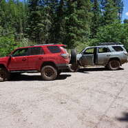
Eventually, we reached pavement at the intersection of FR533 and NM126. The group aired up their tires and headed home to their respective cities, while Catherine P. and Robert G. turned back into the forest to spend the night camping.
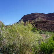
It was a fantastic day to be out enjoying nature, even with the McCauley Springs Fire burning in the Santa Fe National Forest. Fortunately, we neither saw smoke nor smelled it throughout the day, and we were grateful to still enjoy everything the Jemez had to offer.
As always, stay aware of current conditions, respect fire restrictions, and remain vigilant.
I rated this ride easy overall, even with the rocks and incline. It was a 3 cigar ride!
'Til next time,
Jonathan